Bahr Farm Map
R. Alan Wight, Ph.D.
I collaborated with Alan Wight to make a map of the Bahr Farm in the neighborhood of College Hill in Cincinnati, OH. The Cardinal Land Conservancy preserves Bahr Farm and other agricultural lands and needed a map to show the scope of what Bahr Farm does.
Project requirements:
Graphically depict the farm’s land
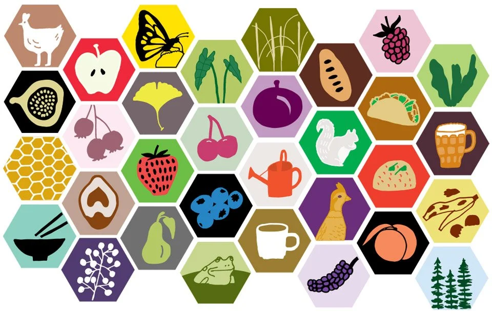
Develop a set of icons to represent many different data points.
Once map neared completion, I worked to get all necessary sponsor logos and final edits to ensure clients were happy with the deliverable.
We walked the farm and interviewed the farmers to ask what was important to them to include.
For more Information about Bahr Farm please click here.
Capabilities:
Editorial Illustration
Pictorial map-making
Page layout and graphic design